Data
Aerial Mapping
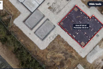
See Your Site From a New Perspective: Aerial Photography, Mapping & Measurement Turn a Drone Visit Into Valuable Site Data Aerial photography is no longer just about impressive images. With modern drones, a single site visit can capture high-resolution images and data that can be used to measure, map, monitor Read more