See Your Site From a New Perspective: Aerial Photography, Mapping & Measurement
Turn a Drone Visit Into Valuable Site Data
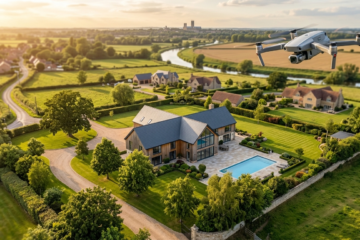
Aerial photography is no longer just about impressive images. With modern drones, a single site visit can capture high-resolution images and data that can be used to measure, map, monitor and report on site progress—all from the air.
Our drone data collection service provides a fast, practical way to gain a clear overview of your site without the time, disruption and limitations associated with traditional ground-based measurements.
Measure From the Air
Using aerial imagery and 2D mapping of your site, a wide range of measurements can be undertaken directly from the captured data, including:
- Measure Angles – assess angles and orientations across your site.
- Get Point Locations – identify and record specific locations and features.
- Measure Distances – measure lengths between points, structures and site features.
- Measure Triangles – calculate dimensions and areas of triangular features.
- Measure Circles – determine dimensions and areas of circular features.
- Measure Bearings – establish direction and orientation between points.
- Measure Areas – calculate the area of buildings, compounds, stockpiles, excavations and other site features.
- Highlight Circles – identify and highlight specific areas or features for inspection and reporting.
The example above demonstrates ow an aerial image can be converted into useful measurement information, with a mapped area showing an 87.09 m² area and 38.53 m perimeter.
Monitor Site Progress
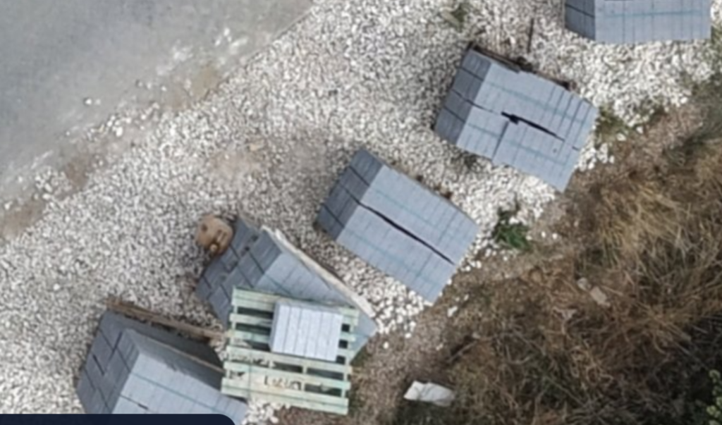
Regular drone visits can provide a consistent visual record of how a site develops over time.
By repeating aerial data and image collection at agreed intervals, you can compare site conditions and create a clear record of progress. This can be particularly useful for:
- Construction progress monitoring
- Earthworks and excavation
- Building and infrastructure projects
- Site logistics and compounds
- Stockpile monitoring
- Groundworks
- Roof and external inspections
- Development sites
- Project documentation and client reporting
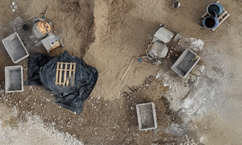
Supply Levels & Quantities
Aerial mapping can also provide valuable information about site levels, elevations and quantities.
Captured data can be used to support the assessment and reporting of ground conditions, changes in levels and material quantities. Where the required survey control and accuracy are available, this can help project teams understand how much material has been moved, where levels have changed and how the site is progressing.
This can make aerial data a valuable complement to conventional surveying and site measurement methods.
Reports
A typical report can include:
Aerial Photography
High-resolution images providing an up-to-date visual record.
Mapped Site Views
Aerial mapping providing a measurable overview of the site.
Measurements
Distances, areas, points, angles and bearings taken from the mapped data.
Progress Comparison
Before-and-after or periodic comparisons showing changes over time.
Levels & Quantity Information
Where suitable survey data and control are available, aerial information can support assessment of levels and quantities.
One Drone Visit. A Wealth of Information.
The real value of aerial data is that the same captured information can potentially be used for many different purposes.
Instead of simply taking photographs on the day, a drone visit can create a digital snapshot of your site that can be revisited, measured and analysed as project requirements change.
Whether you need to demonstrate progress, investigate a site feature, calculate an area, compare ground conditions or provide visual evidence to a client, having accurate aerial imagery and mapping available can save time and improve communication.
Arrange Your Drone Data & Image Collection Visit
Let us capture your site from above and turn aerial imagery into useful project information.
Book a drone site visit for aerial photography, mapping, measurements and progress documentation.
From point locations and distances to areas, bearings, site levels and progress reporting, aerial data can give your team a clearer view of what is happening on the ground.
0 Comments