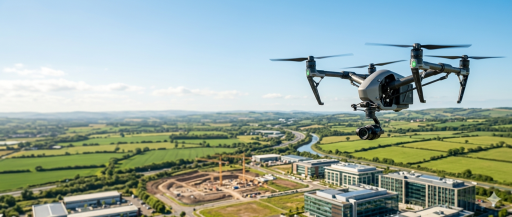
Property marketing has evolved dramatically over the last decade. Buyers, investors, landlords, developers, and commercial stakeholders now expect far more than a collection of ground-level photographs.
Professional drone photography and video provide a unique perspective that helps reveal the true scale, setting, condition, and value of a property.
Why Traditional Photography Isn’t Always Enough
Ground-based images are excellent for showcasing interiors and street-level views, but they often fail to capture the wider story.
Potential buyers frequently want answers to questions such as:
- What surrounds the property?
- How large is the plot?
- What is the roof condition?
- How accessible is the location?
- What features make this property unique?
Drone imaging provides these answers instantly.
Five Common Property Challenges
1. Structural Visibility
Many building issues begin at roof level where they remain hidden from normal inspections.
Drone surveys can identify:
- Missing roof tiles
- Damaged flashing
- Blocked gutters
- Water pooling
- Chimney deterioration
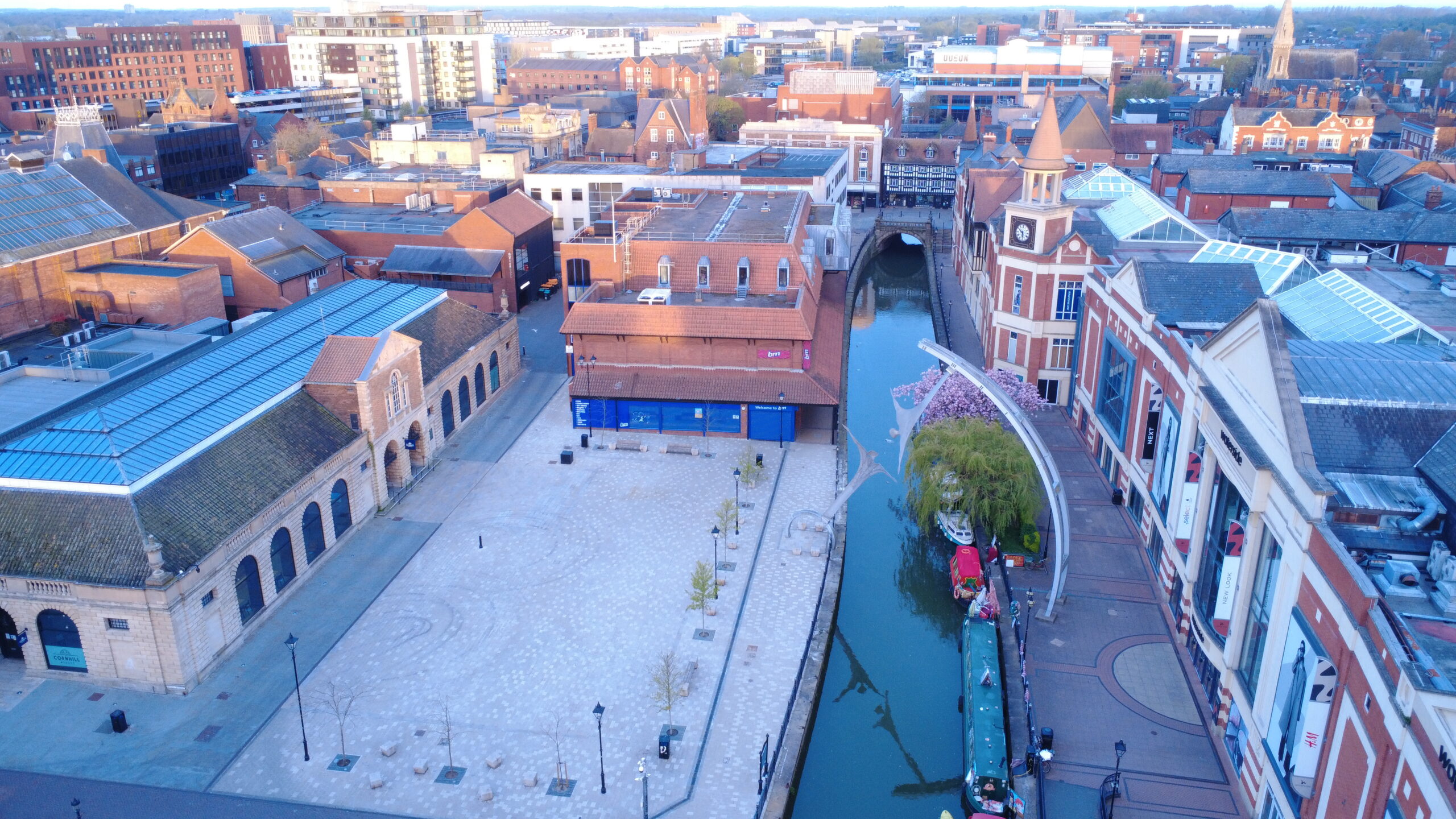
2. Location and Context
Location remains one of the most important factors influencing property value.
Aerial imagery demonstrates:
- Nearby amenities
- Transport links
- Schools
- Business districts
- Countryside views
- Waterfront locations
3. Property Boundaries
Buyers often struggle to understand plot size and land ownership.
Drone imagery clearly illustrates:
- Boundary lines
- Access roads
- Parking areas
- Gardens
- Agricultural land
4. Environmental Factors
Environmental conditions can significantly affect property value and future maintenance requirements.
Aerial surveys can reveal:
- Flood-risk areas
- Drainage systems
- Surface water routes
- Vegetation growth
- Ground conditions
5. Marketing Differentiation
In crowded property markets, professional presentation creates competitive advantage.
Properties featuring aerial imagery attract greater attention online and deliver stronger engagement across property portals and social media.
Five Powerful Solutions Drone Imaging Provides
Detailed Structural Surveys
Safe and cost-effective roof inspections without scaffolding or access equipment.
Location Showcase
Highlight surroundings, amenities, transport links, and lifestyle benefits.
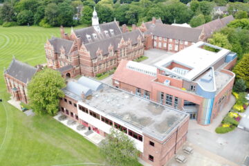
Complete Property Overview
Provide buyers with a true understanding of scale and layout.
Environmental Intelligence
Identify potential concerns before they become costly problems.
Premium Marketing Content
Create professional photography and cinematic video that generates more enquiries.
Why Choose My Drone Service?
We help estate agents, surveyors, commercial property owners, developers, facilities managers, and landowners present properties professionally while providing valuable inspection and survey insights.
Our services include:
- Property Marketing Photography
- Aerial Video Production
- Roof Surveys
- Asset Inspections
- Construction Progress Monitoring
- Land Surveys
- Commercial Property Imaging
See the Difference
Visit our website to learn more:
Website: https://mydroneservice.co.uk/
YouTube Channel: https://www.youtube.com/@MyDroneSupport
Follow Us on Facebook:
https://www.facebook.com/MyDroneSupport
Show More. Sell More. Reveal the Full Value of Every Property.
0 Comments